The Shaded Veranda
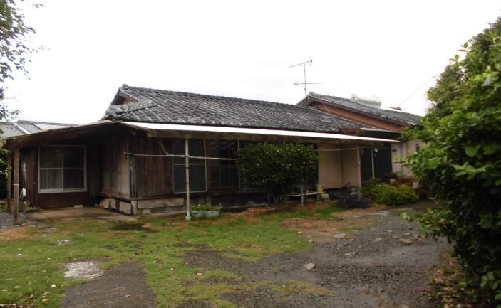
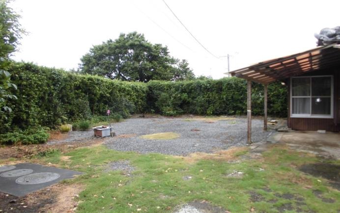
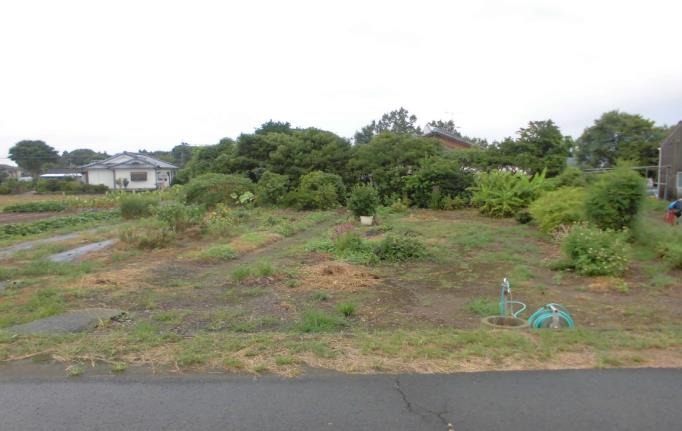
1960s wood house on a large plot in Izumi, Kagoshima
Izumi, Kagoshima
Saved homes live in this browser. View your saved homes
Location
This marks an approximate area, not the exact building. The circle is a rough radius from the listing's published address, so you can see the neighbourhood without us guessing at a precise spot.
Full description
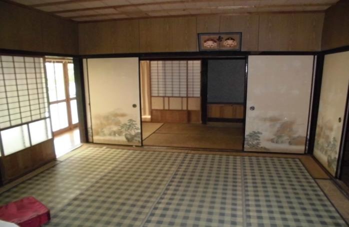
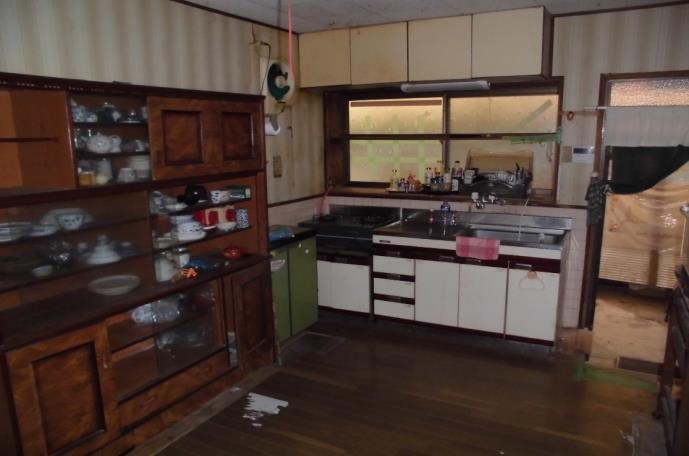
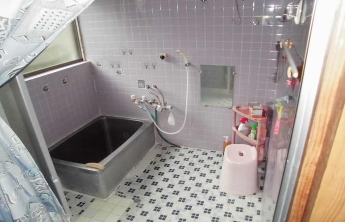
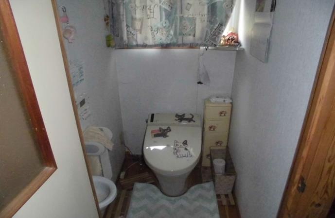
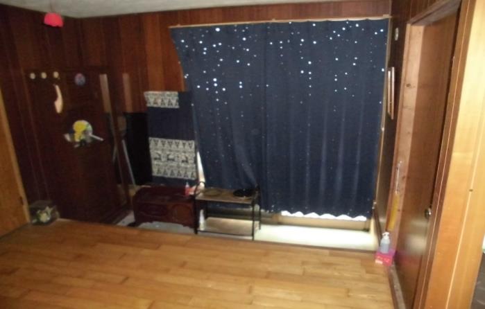
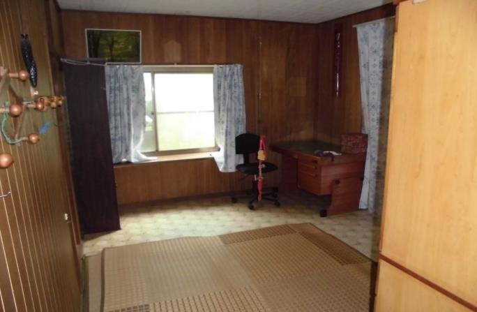
Major renovation required. Furniture/fixtures removal needed. Price includes farmland (366 m²).
Specifications
Where a detail is not shown, the source listing did not state it. We leave it out rather than guess.
Utilities
Area and hazard data
- About 26 min walk to Nodago station
- About 5.2 km from the coast
- About 2.1 km to the nearest primary school
A pre-1981 build predates Japan's current earthquake code, which can matter for insurance and renovation. We flag the era from the year built where we have it.
Land-market context
The nearest official land-price benchmark is about 9,700 yen per sqm, with local prices falling (-0.2% over five years).
Source: Japan's Ministry of Land land-price survey. A benchmark for the area, not a valuation of this home.
Matched subsidies
-
Vibrant Neighborhood Community Resident Support Program (Residency Subsidy)Up to 600,000 yenSource
-
Migration Support Payment Program60万円 for single person, 100万円 for household, plus 100万円 per child under 18. The maximum conditional amount cannot be stated as a single cap.Source
-
In-municipality Resident Housing Acquisition SubsidyUp to 1,000,000 yenSource
-
Migration Support Payment ProgramUp to 1,000,000 yenSource
-
Regional Revitalization Migration Support Program (Household)Up to 1,000,000 yenSource
-
Regional Revitalization Migration Support Program (Single)Up to 600,000 yenSource
-
Izumi City Akiya Bank Registered Property Renovation SubsidyUp to 300,000 yenSource
-
Izumi City Designated Vacant Building Demolition SubsidyUp to 300,000 yenSource
-
Vibrant Neighborhood Community Resident Support Program (Housing Subsidy)Up to 300,000 yenSource
Amounts change every year. Always confirm with the town before you rely on a figure.
Work with us
Every message gets a reply from one of the founders. We can talk through the home, help you think about a renovation, and connect you with our Japan partner for buying help. Clear flat-fee pricing, nothing to pay until you decide to go ahead.
Where this data comes from
- Landslide-risk areas, from Japan's Ministry of Land mapping data (KSJ A33).
- Flood-risk areas, from Japan's Ministry of Land mapping data (KSJ A31a).
- Tsunami-risk areas, from Japan's Ministry of Land mapping data (KSJ A40).
- Earthquake-hazard forecast, from the national J-SHIS model (2024).
- Farmland rules, from Japan's Ministry of Land mapping data (KSJ A12).
- Stations, coastline and schools, from Japan's Ministry of Land mapping data.
- Official land prices, from Japan's Ministry of Land land-price survey.
Checked against the town's listing: 2026-07-22
Source listing last changed: 2026-05-28
We re-check listings against their sources through the week.
Original listing: https://www.city.kagoshima-izumi.lg.jp/files/SpcDocumentDetail/153/SpcDocumentDetail_153375_file.pdf
Where a fact is missing, we say so rather than guess. Data from the source listing plus official government records.